
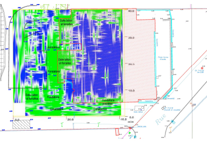
Result supplied
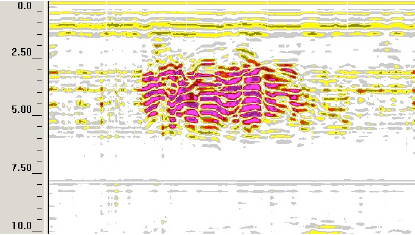
Geological radar allows a continuous, detailed image to be obtained of the geometry of different geological horizons. Investigation in depth Antennas THF (! 1500 MHz): from 0 to 30 cm. Antennas HF (900-1500 MHz): from 0 to 80 cm. Antennas MF (200-500 MHz): from 0.5 to 6 m. Antennas BF (70-100 MHz): from 2 to 15 m. Antennas TBF (« 70 MHz): from 5 to 30 m.
Applications
- Reconnaissance of geological and hydro-geological structures (depth of rocks, precise localisation of faults, detection of large blocks, etc.)
- Localisation of natural or man-made cavities.
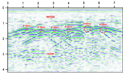
- Detection and localisation of pipework (metal, concrete, PVC).
- Detection and localisation of buried objects (drums, tanks, old foundations, etc.).
- Localisation of polluted zones.
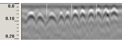
- Inspection of the thickness of galleries and tunnels.
- Detection and localisation of ironwork.
- Etc.