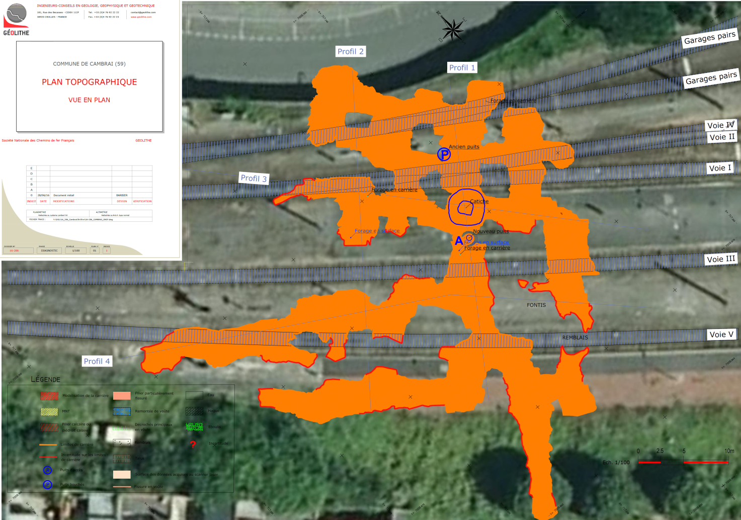
Geological and geophysical prospecting
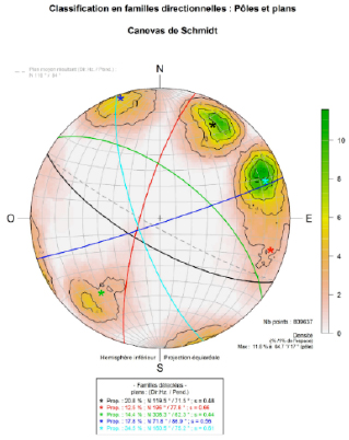
- Geological detail mapping
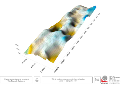
- Geophysical prospecting (down to 1000 m in depth): Seismic reflection, etc.
- Probing, in-situ and in laboratory testing.
Development of a geological model
- Development of a 3D geological model from field data, drilling data and geophysical cross-sections.
- Geolithe has the program Geomodeller-3D.
Quantitative evaluation of environmental impacts
- Vibrations and over-pressures
- Projections, dusts Waters (balance, circulation, modelling, etc.)
Studies of the protection against gravity induced hazards
- Rockfalls
- Landslides
- Collapses
- Avalanches
- etc.
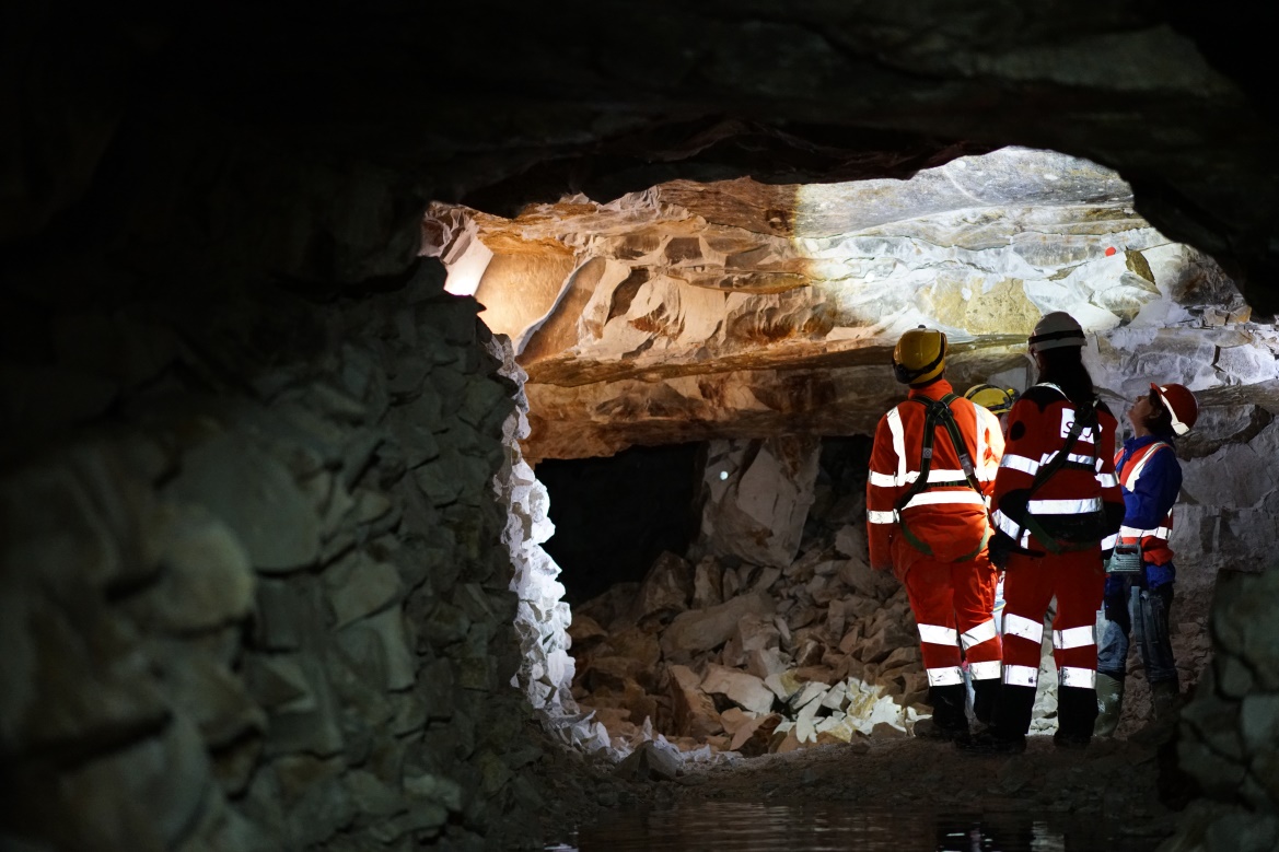
Securing and layout of sites
- Consolidation of walls
- Restitution
- Monitoring
Calculations of stability and sizing of works
- Galleries, tunnels
- Buildings, industrial structures.