
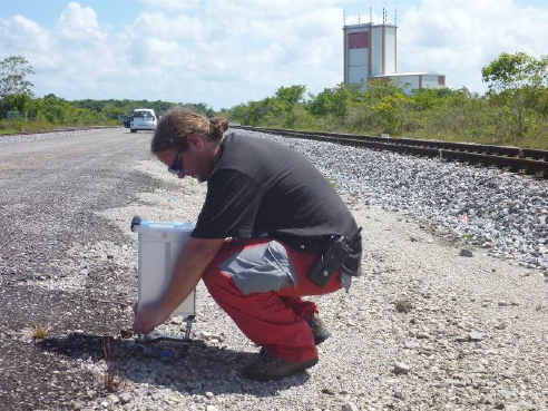
Microgravimetry is one of the methods the best adapted for the search for underground density anomalies (cavities, sinkholes, decompression, galleries…). The Microgravimetry allows relative values of the ground surface gravity to be measured in order to establish the distribution of underground densities.
Result supplied
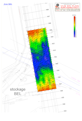
Bouguer anomaly map. Individualisation of different anomalies by the establishment of a residual anomaly map.
Investigation in depth
Down to 50 metres.
Applications
- Civil engineering: Search for shallow cavities (old quarries, galleries, karst cavities) filled in or flooded to a greater or lesser extent.
- Hydrology Search for karst zones and alluvial alterations, etc.
- Mines: Search of furrows and massif, dense clusters, search for fractured zones or zones of alteration, low density zones, etc.
- Environment: Objects and targets to detect.